
Residents of Himachal Pradesh are being urged to brace for a turbulent few days as the India Meteorological Department (IMD) has issued an orange alert for heavy rainfall and hailstorms across five districts. The warning comes just as meteorologists predict the arrival of the long-awaited southwest monsoon around June 25.
Here’s the thing: this isn’t just a passing shower. A new western disturbance is expected to activate from June 11, triggering continuous "jhamela" (heavy downpour) conditions that could last until mid-June. For locals, this means disrupted travel plans; for tourists, it might mean cancelling trekking trips or huddling indoors with hot chai while watching the rain lash against the windows.
The Storm Ahead: What the Alerts Mean
The Shimla IMD Center, which serves as the regional forecasting hub for the state, has flagged significant weather activity starting June 11. This western disturbance is distinct from the usual pre-monsoon showers. It’s bringing a mix of intense rain and freezing temperatures at higher altitudes, leading to the specific threat of hailstorms.
An orange alert in the IMD’s color-coded system signifies "extreme caution." It doesn’t mean disaster is inevitable, but it does mean severe impacts are possible if precautions aren’t taken. Five districts have been specifically targeted for these hail risks. While reports vary slightly on which exact districts are under the highest threat at any given hour, areas like Mandi, Kangra, and parts of Bilaspur are frequently mentioned in local alerts.
Turns out, the intensity will fluctuate. According to recent video updates from local news outlets, the heaviest activity is concentrated between now and June 15. By June 24 and 25, the weather pattern is expected to shift, with only sporadic light rains likely in central Himachal. But getting there safely is the immediate challenge.
Monsoon Arrival: The June 25 Target
The bigger picture here is the arrival of the southwest monsoon. Historically, Himachal Pradesh sees the monsoon enter around late June. This year, forecasts suggest it could touch the state right around June 25.
Why does this date matter? Because the current western disturbance acts as a precursor. It’s essentially clearing the atmospheric slate for the monsoon winds to make landfall. In previous years, the monsoon has arrived up to five days later than normal. If history repeats itself, we might see a slight delay, but the current active weather suggests the systems are building pressure earlier than some models predicted.
For farmers, this timing is critical. The soil moisture levels are already elevated due to above-average May rains. If the monsoon arrives on schedule, it could boost crop yields significantly. If it delays, the risk of dry spells increases after the initial burst of rain subsides.
Context: Above-Average Rains Already Here
To understand why the ground is so saturated, look back at May. The state recorded an average actual rainfall of 70.4 mm, compared to the normal average of just 32.4 mm. That’s more than double the typical amount.
- Bilaspur: Saw 58% more rain than normal.
- Shimla & Sirmaur: Both recorded 47% excess rainfall.
- Kangra: Experienced 26% above-average precipitation.
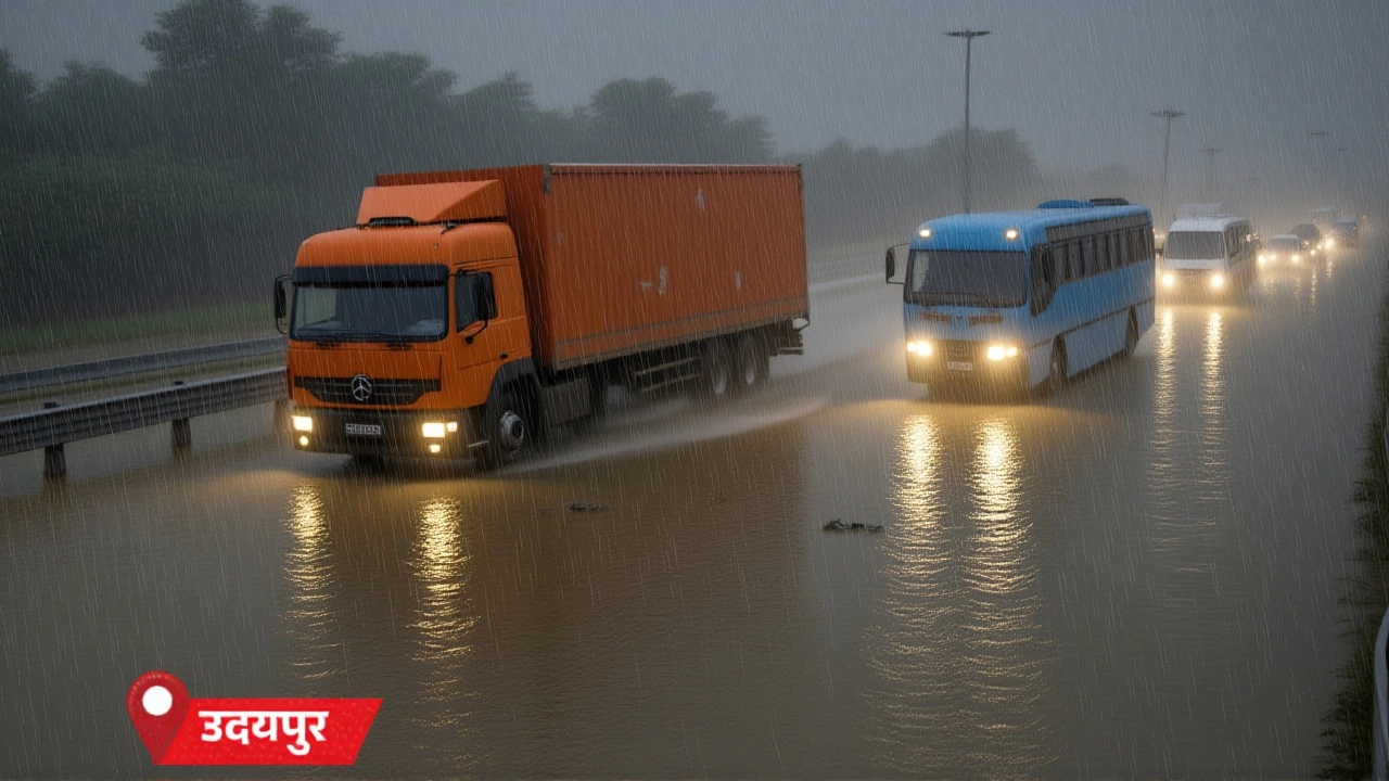
This data point is crucial. When you add a new western disturbance on top of already wet soil, the risk of landslides and waterlogging spikes dramatically. The drainage systems in urban centers like Shimla and Mandi are already under stress. One more day of heavy rain could push them past capacity.
Impact on Daily Life and Tourism
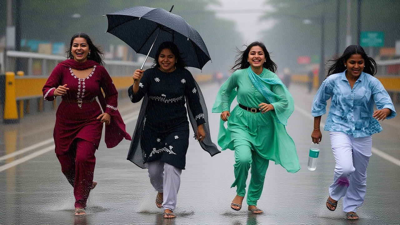
The ripple effects are already visible. Schools in affected districts are advising students to carry umbrellas and wear waterproof gear—a small detail that signals how pervasive the rain is. In Shimla, tourists are adapting, finding ways to enjoy the misty, rainy ambiance rather than fleeing the city.
But for commuters, it’s a different story. Roads connecting Kangra to Mandi and Bilaspur are prone to becoming slippery and hazardous during heavy downpours. Local authorities have been asked to monitor landslide-prone zones closely. The combination of hail and rain can also damage property, particularly greenhouses and temporary structures used by tourists.
Experts note that while the visual appeal of a rainy Himachal is undeniable, the safety protocols cannot be ignored. The orange alert is not a suggestion; it’s a directive to stay vigilant. Avoid unnecessary travel to high-altitude regions where visibility drops near zero and road surfaces become icy due to hail.
What’s Next?
Over the next week, the focus remains on the western disturbance’s trajectory. If it dissipates quickly, the path clears for the monsoon’s entry. If it lingers, we could see extended periods of gray skies and intermittent heavy rain well into July.
Residents should keep their emergency kits ready, check on elderly neighbors who might struggle with power fluctuations during storms, and follow real-time updates from the IMD. The weather in the Himalayas is notoriously unpredictable, but the signs are clear: prepare for a wet, wild few days before the monsoon officially takes over.
Frequently Asked Questions
Which districts in Himachal Pradesh are under the orange alert?
The orange alert primarily covers five districts, with Mandi, Kangra, and Bilaspur frequently cited as high-risk zones for hail and heavy rain. Other areas like Shimla and Solan may experience secondary impacts. Residents should check local district administration alerts for precise municipal warnings.
When is the monsoon expected to reach Himachal Pradesh?
Meteorologists predict the southwest monsoon could arrive around June 25. However, historical data shows variations of up to five days. The current western disturbance active from June 11 is acting as a precursor, potentially accelerating the atmospheric changes needed for monsoon onset.
What does an 'orange alert' mean for travelers?
An orange alert indicates "extreme caution." For travelers, this means avoiding non-essential trips to high-altitude areas, securing loose belongings against strong winds, and being prepared for sudden hailstorms. Road conditions may deteriorate rapidly, increasing accident risks on mountain passes.
How much rain did Himachal receive in May?
May saw significantly above-average rainfall, with an average of 70.4 mm recorded against a normal of 32.4 mm. Districts like Bilaspur saw 58% excess rain, while Shimla and Sirmaur recorded 47% more than usual. This saturation increases landslide risks during the upcoming storms.
Will schools remain open during the heavy rain?
Schools have not been universally closed, but authorities advise students to take precautions such as carrying umbrellas and wearing waterproof clothing. Local administrations may issue temporary closures if hail or extreme flooding occurs in specific neighborhoods. Parents should monitor local school notifications.